Who We Serve: Jurisdiction & District Facilities

Service Area
- Portions of El Dorado County within Tahoe Basin
- Hwy 89 North to Cascade Lake
- Hwy 89 South to Luther Pass
- Hwy 50 East to Nevada state line
- Hwy 50 West to Echo Lake
Water System:
- Over 14,000 residential water connections
- 660 commercial and government sites
- 11 active wells
Collection System:
- 330 miles of sewer lines
- 42 lift stations
- 17,000 connections
Treatment Plant:
- 7.7 MGD capacity
- 1.8 billion gallons treated annually
- Average 4.0 MGD flow
Export System:
- An $80 Million Dollar Facility
- 10.4 miles of A-line
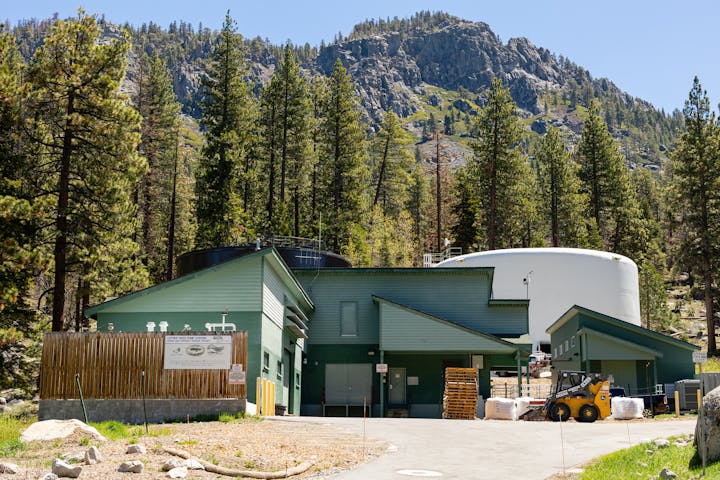
- Luther Pass Pump Station
- 4.3 miles B-line (1,240 vertical feet)
- 10.7 miles C-line
- Harvey Place Reservoir
- Indian Creek Reservoir
- Land Application System
- Diamond Valley Ranch